In October of 2016 I visited Iceland with my friend Howard. We were there for ten days and drove around the whole island. This post is about the south which includes the capital Reykjavík.
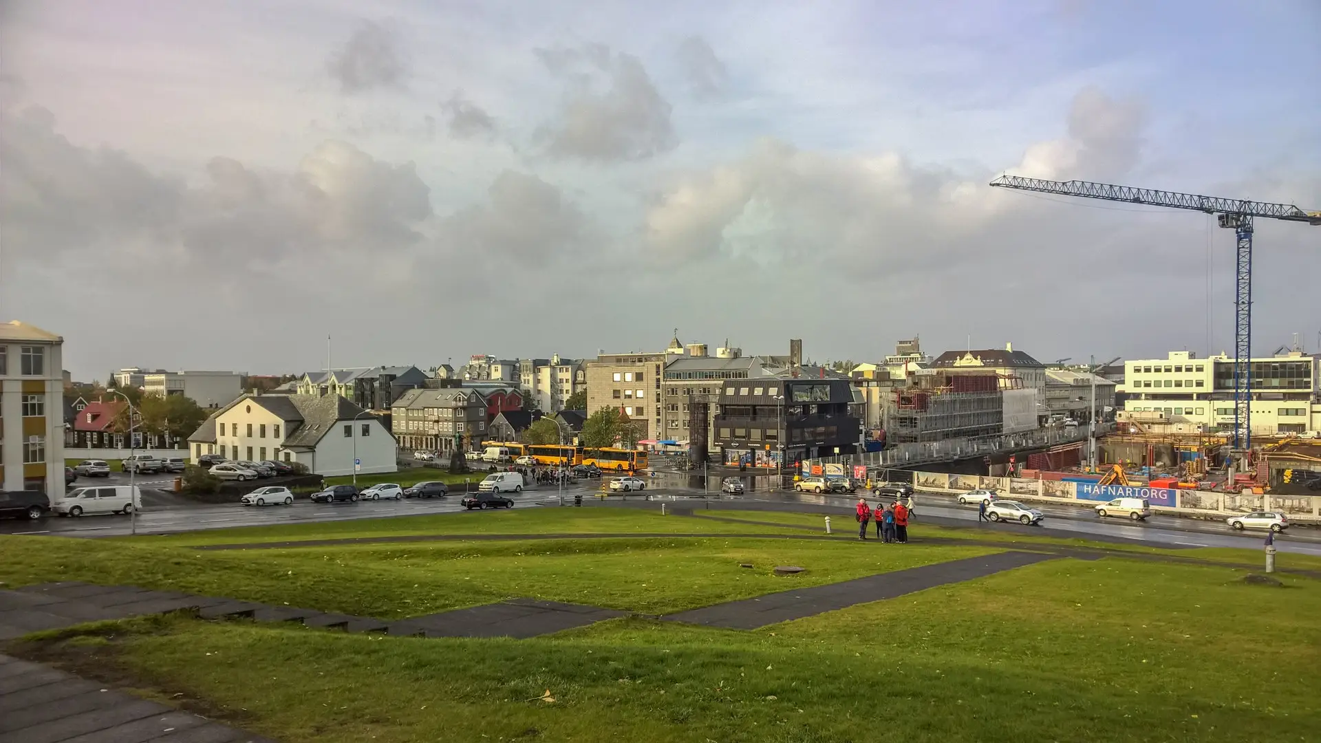
Downtown Reykjavík
Reykjavík wasn't the most beautiful city in the world by and large. There were a few nice spots but the buildings looked like they were made to withstand winter. The landscape can be perfectly described by the word bleak. Must of the surrounding area is fairly recent lava flows with little in the way of vegetation. It was also extremely windy when we were there which added to the bleakness.
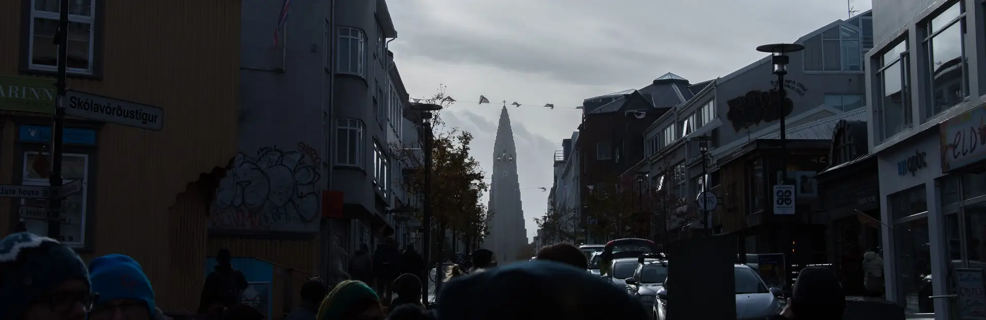
Hallgrímskirkja, a towering church that dominates the skyline
Reykjavík is by far the largest city in Iceland with more than two thirds of the country's population living close by. At around 200,000 residents it is still a very small city.
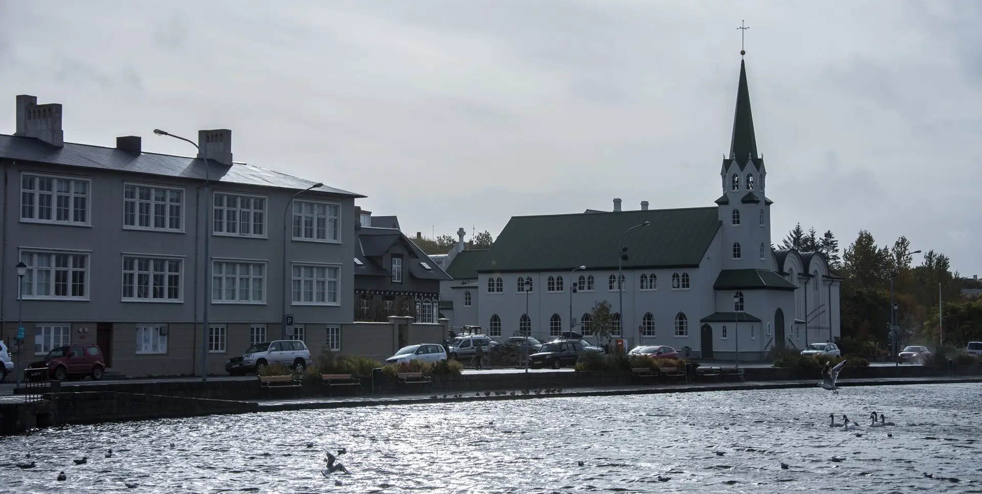
One of the nicer views in Reykjavík
We spent two nights in Reykjavík, at either end of our journey. I wouldn't plan on staying any longer unless it was just a place to sleep which heading out in the countryside during the day.
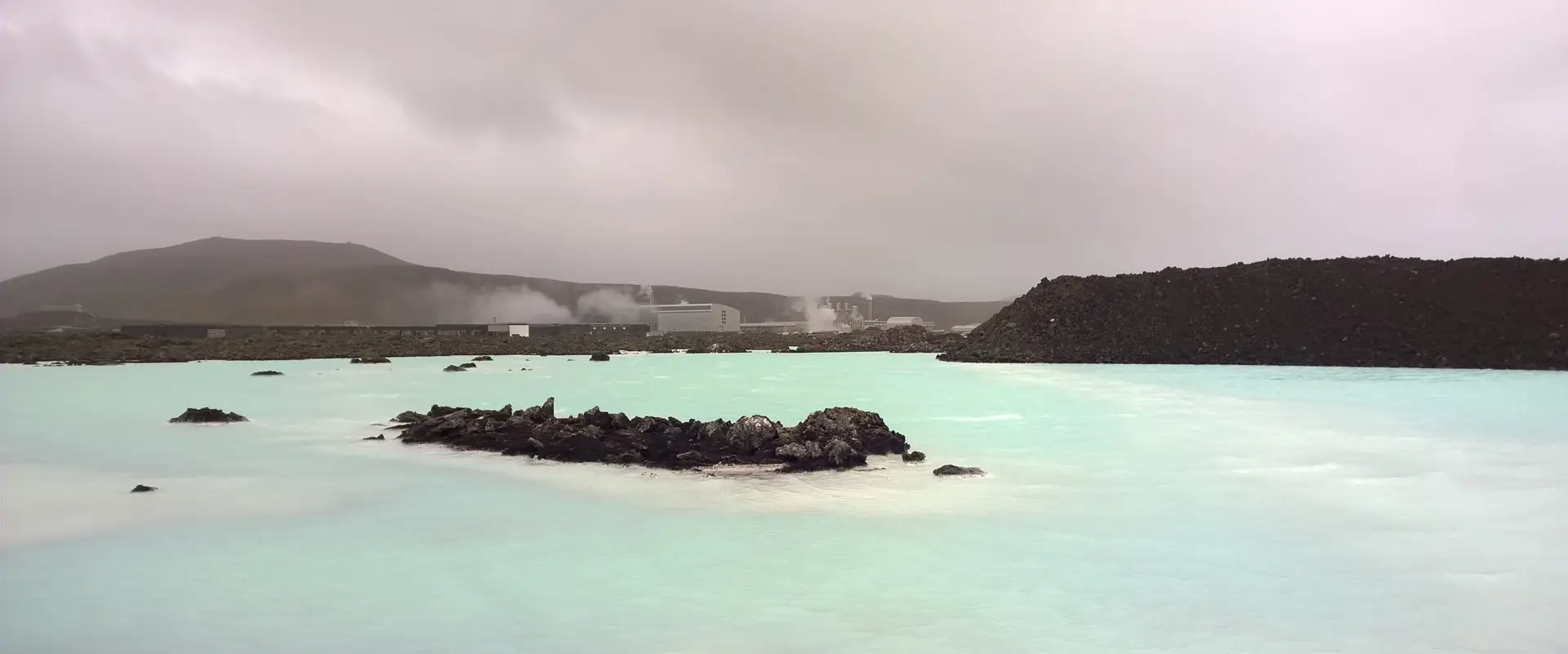
The famous Blue Lagoon. We drove all the way out only to find that the whole thing was booked all day. The blue colour comes from the runoff from the geothermal power station in the background
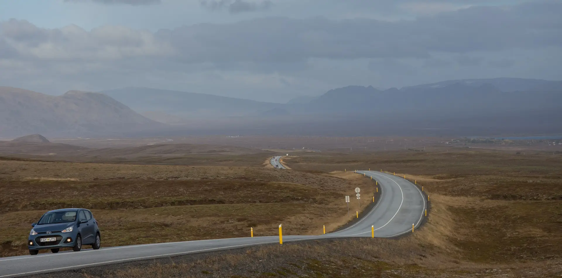
Iceland has a major ring road which circles in island. Our plan was to follow this road, stopping along the way at hostels. There are a few unique dangers when renting a car here: the wind is so strong that it is common for car doors to be blown completely backwards. We learned pretty quickly to only open one door at a time to avoid having everything blown out. Another issue is ash storms which require an extra fee to be insured against. Luckily we didn't encounter any as we didn't bother.
There is a route through the Þingvellir National Park (the Þ is a th sound) called the Golden Circle which is a popular tourist drive and that is where we headed after leaving Reykjavík.
Approaching Þingvellir National Park
The landscape in the park is dramatic with mountains, lakes, rivers, and waterfalls. Like the rest of the country this area has been formed through volcanic activity.
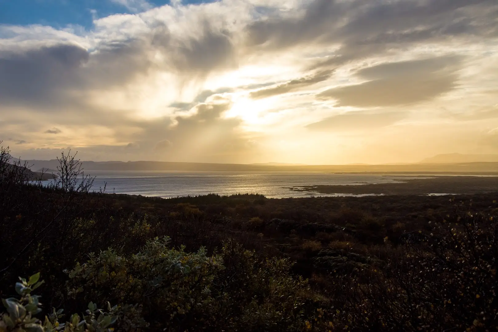
Silfra lake at the goldest of golden hours
The lake in the photo above formed by the divergence of tectonic plates. You can even dive down into the rift and place one hand on the American plate and the other on the Eurasian plate.
The Golden Circle contains Geysir, the geyser from which the English word comes from. Geysir itself is currently dormant but the nearby Strokkur is active and erupts every 6 to 10 minutes up to heights of 20 metres.
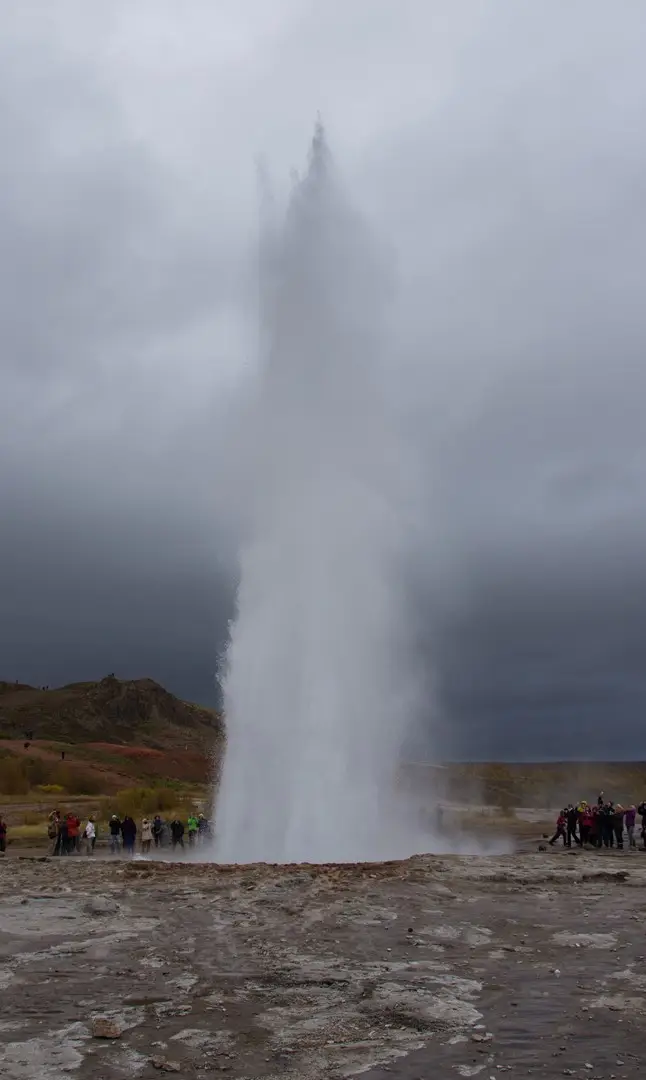
Strokkur erupting
Another attraction in the Golden Circle is the waterfall Gullfoss. This was the first waterfall that we saw and was very cool. There are so many amazing waterfalls in Iceland that waterfall fatigue eventually sets in. The width of the falls and the river behind them was impressive, as was the narrow canyon that the water flowed in to.
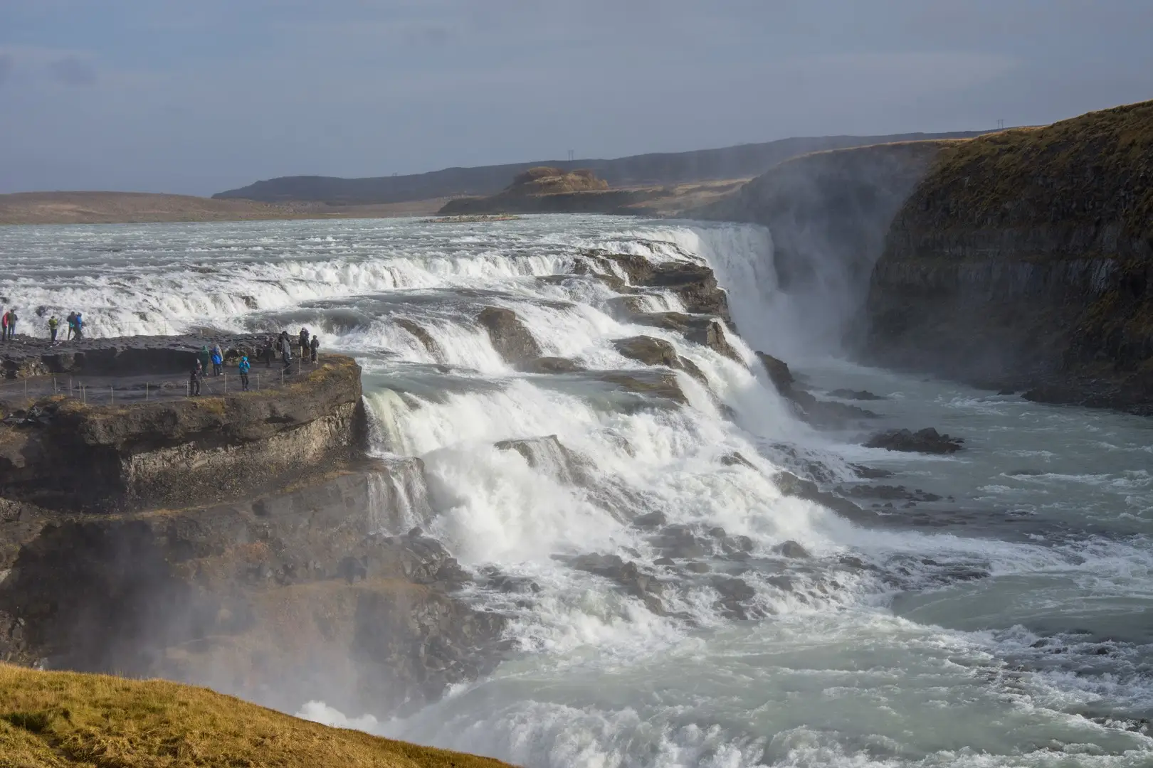
Gullfoss
There were attempts in the 20th century to dam the falls for hydro power which thankfully didn't progress.
As we drove east we kept encounting more waterfalls. Initially we would stop at each but eventually we had to start skipping some.
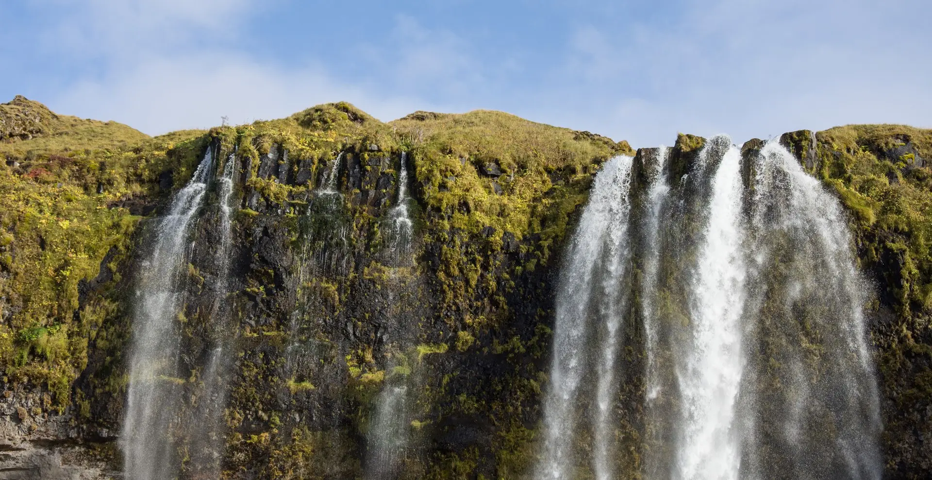
Waterfalls everywhere
The landscape towards the east starts to become quite dramatic after leaving the Golden Circle. The road travels along a large coastal plain with towering cliffs on the inland side. The cliffs were previously the coastline, however the sea has retreated since the last ice age. These towering rock faces produce countless waterfalls, including some where the water can be blown away by the wind before reaching the ground.
One of the largest of these is Skógafoss. At over 60 metres tall it is quite the sight.
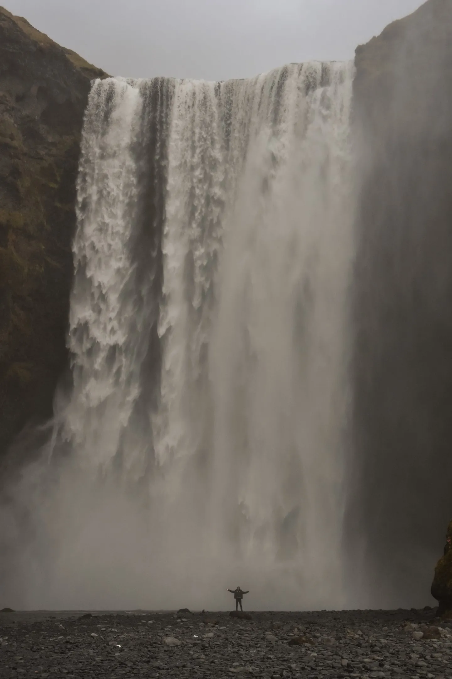
Skógafoss
The final stop in this post is the Sólheimajökull glacier. The carpark was once at the foot of the glacier. Now it's a fifteen minute walk to reach the base. Unfortunately the glacier is retreating rapidly and is much smaller than it was even ten years ago.
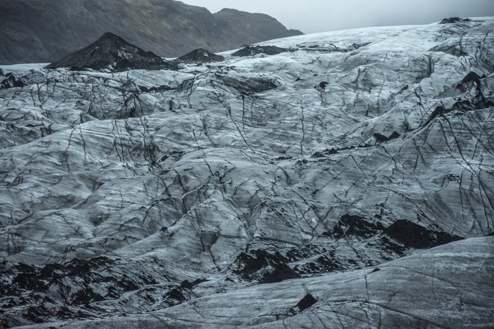
Sólheimajökull glacier
Next post will head east into the wilder parts of the country.